Louisiana’s Creole Nature Trail is a popular spot for watching migrating birds and spotting a variety waterfowl and wading birds. The trail runs through two wildlife refuges, the Sabine and the Cameron Prairie National Wildlife Refuges.
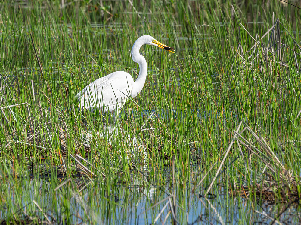
You can spend most of a day driving the 180-mile-long trail through Louisiana’s ‘Outback” in the far southwestern corner of the state. It’s a mixture of freshwater prairie and salty marsh that is a favorite for all types of wading birds and waterfowl.
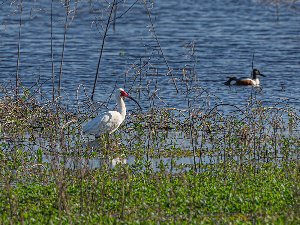
birdwatching on the creole nature trail
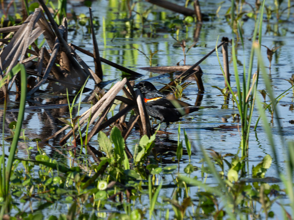
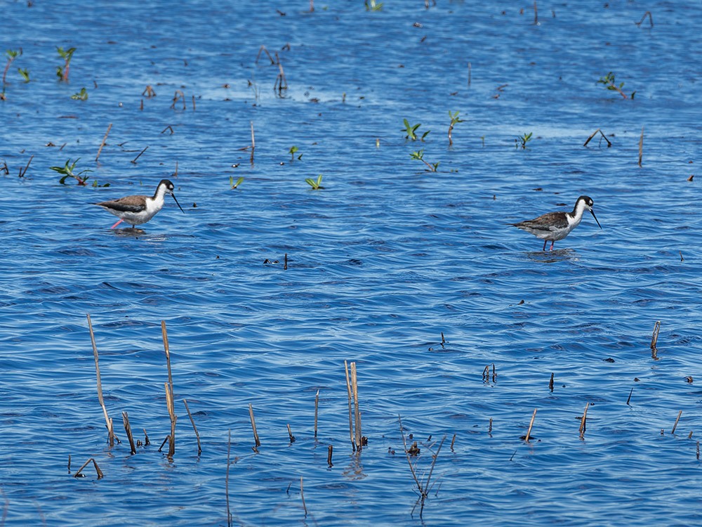
Allie Mulligan, who manages the 125,000 acre National Wildlife Refuge, says the area is a stopover for songbirds that migrate across the Gulf of Mexico. And that attracts bird watchers, “A lot of people come out to the refuge to see those sorts of songbirds,” she says. The shallow marshes also host a variety of ducks, including green wing and blue wing teal, gadwall, wigeon, pintail and mallard, according to Mulligan.
The sprawling refuge has several walking trails that are prime spots for spotting wildlife. As I walk the mile-long Blue Goose Trail in the Sabine National Wildlife Refuge, I meet Linda Auld from New Orleans. She calls herself Nola Bug Lady, and is exploring the southwest Louisiana refuge looking for the leading edge of the monarch butterfly migration. Auld points to some of the trees in the area, like the toothache tree and hackberry that support several types of butterflies. The blooming wildflowers add to the butterfly attraction.
easy fishing & crabbing
The western refuge also has several boat launches and places where you can fish or catch crabs from a pier. Gunner Johnson, who lives in the area, tells me he catches the typical Louisiana fish, “redfish, speckled trout and flounder,” he says, as he casts his line into the water.
creole nature trail featured on tv
from interste 10 to the gulf
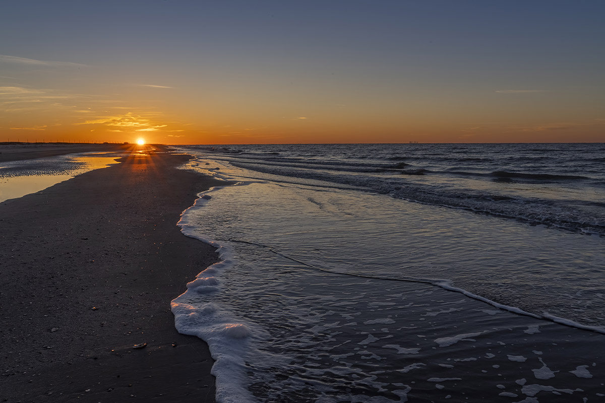
The Creole Nature Trail begins at Interstate 10 in the town of Sulpher and heads south to the Gulf of Mexico and several beaches. As you drive east along the Gulf highway, you can use a ferry to cross the Calcasieu River to get to the Cameron Prairie Refuge on the east side. That’s where you find the Pintail Loop, a gravel road that loops through a freshwater marsh. The area also has a boardwalk where you can walk above the marsh and look for birds and other wildlife.
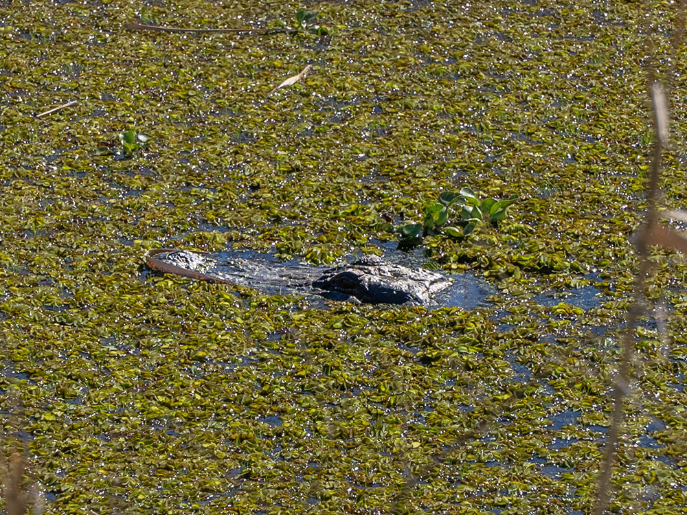
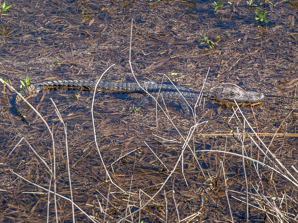
The loop road follows a canal that is a good place for spotting aligators. I have visited the area a couple of times and have always seen alligators here. Sometimes they are sunning themselves near the water. You may spot the head of an alligators sticking above the murky water.
visitors center features wildlife
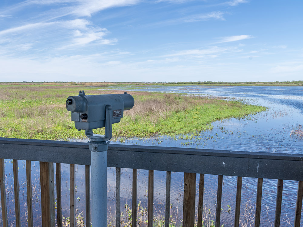
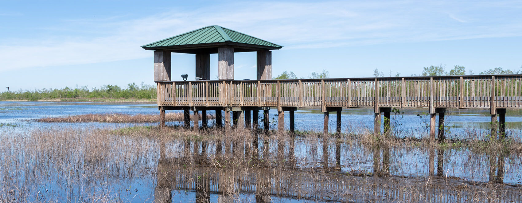
A couple of miles north of the Pintail Loop you can stop at the Cameron Prairie Visitors Center. The center has a small museum to introduce visitors to the animals of the Louisiana marsh. And there is a covered observation deck that overlooks a large pond that is frequented by a variety of birds and a few alligators. Shaun Ziegler of the Fish and Wildlife Service says that a popular time for birdwatching is during the winter months, “when a lot of species are moving through.” He adds, “our bird list is almost 400 different species of birds.”
getting there
From Interstate 10, exit at Sulphur, LA and drive south on Highway 27. Watch for the brown wildlife refuge signs for points of interest along the route. When highway 27 reaches the Gulf of Mexico, turn left and continue on 27 to the Cameron Ferry. You will pass several beaches along the highway. After crossing the ferry, continue on highway 27 which eventually turns north. You will pass the Pintail Loop and the Cameron Prairie Visitors center as you drive north toward Lake Charles and I-10. For more information, click here for the Visit Lake Charles website.
more to do in southwest Louisiana
We’re a talented group of creative individuals interested in art, cinematography, design, music, and all niches in between.

Leave a Reply