
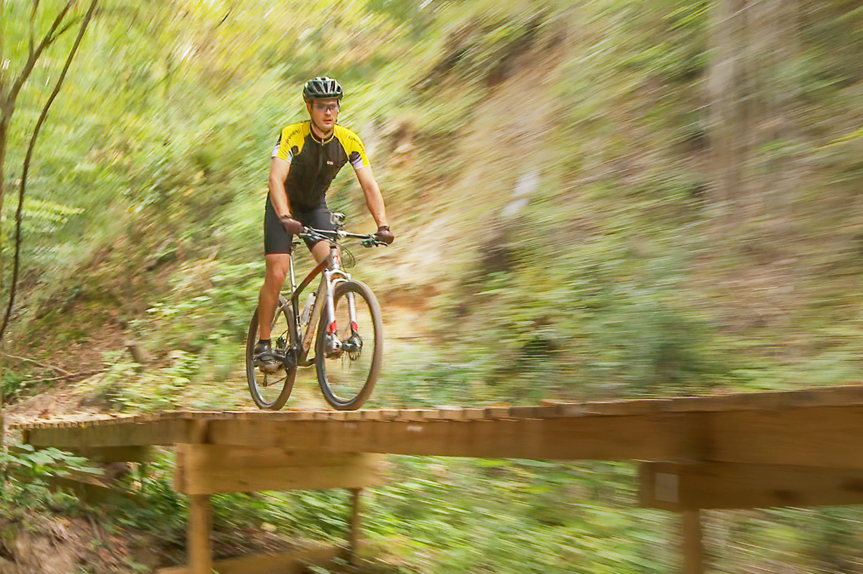
The Tammany Trace is an easy paved long-distance bike trail in Louisiana that takes you through forests and across rivers and bayous in southern St. Tammany Parish.
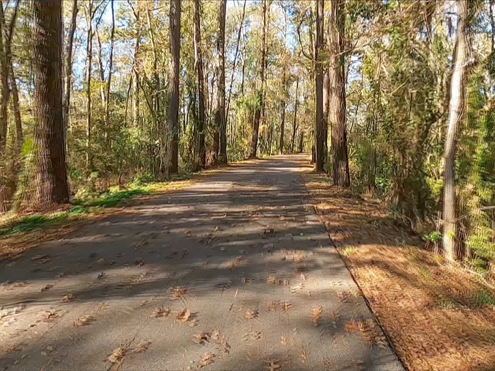
The 28 mile long Tammany Trace bikeway inherited its straight and level path from the old Illinois Central Gulf railroad line that was abandoned in the 1980s. The first section of the trace opened in 1994, and it now connects the southeastern Louisiana communities of Covington, Abita Springs, Mandeville, Lacombe and Slidell.
away from traffic
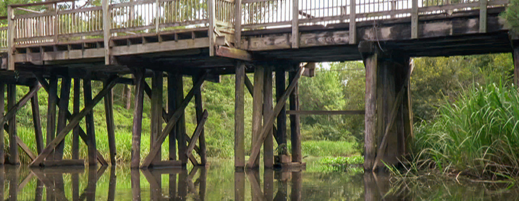
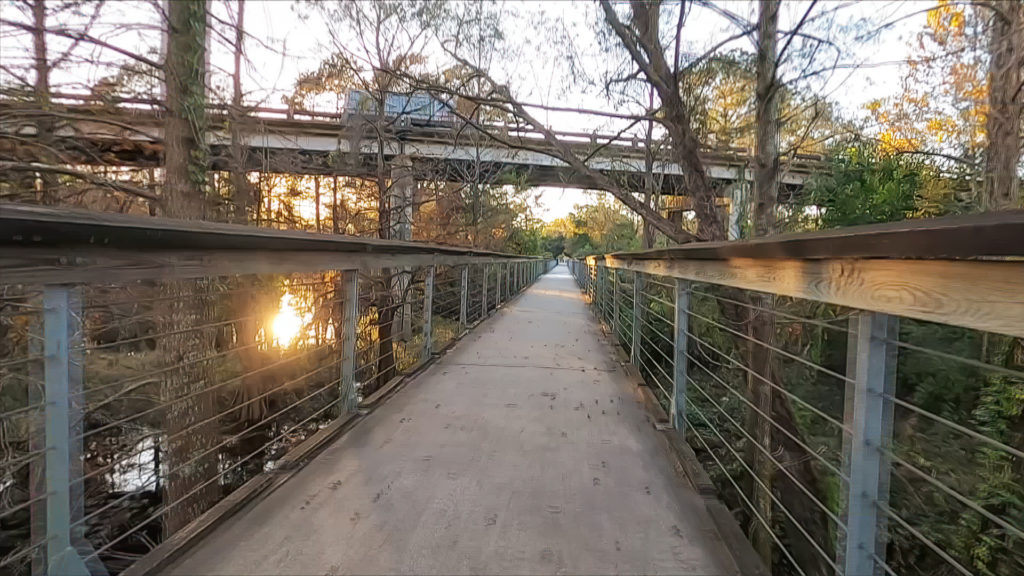
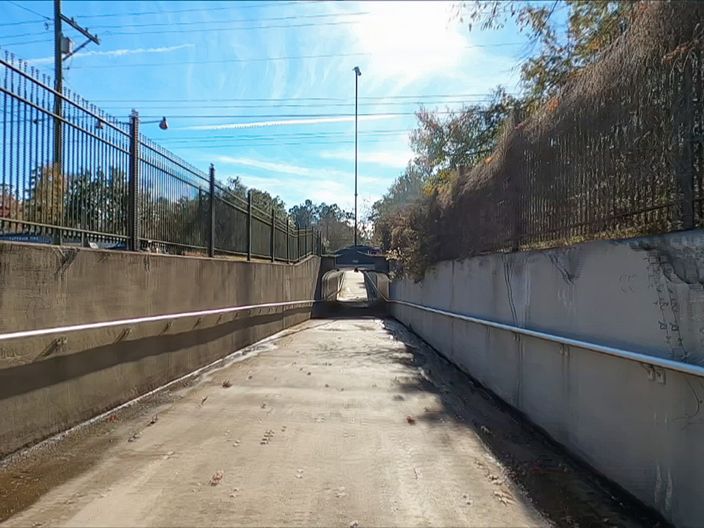
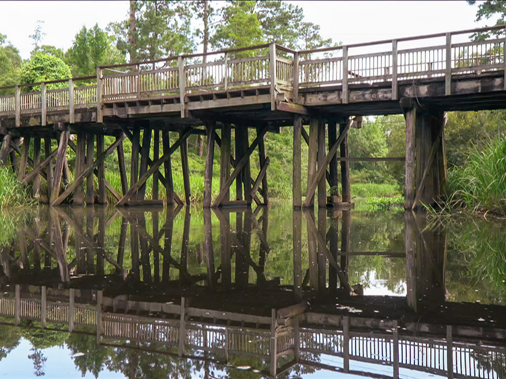
The paved bike and walking trail crosses a number of rivers and bayous along its route that keeps users away from busy nearby traffic. All road crossings are clearly marked for motorists who are required to stop for trail users. At the busiest crossing at US Highway 190 in downtown Mandeville, the bikeway drops into a tunnel below the road.
tammany trace featured on tv
One end of the bike path starts at the old train depot in downtown Covington. The trail crosses the Bogue Falaya river. Then it’s on to the town of Abita Springs after another bridge at the Abita river. Halfway between Abita and Mandeville there is a large play area with parking for trail riders and families. As the Trace leaves Mandevile the bike path cuts through the tall pines of Fontainebleau State Park. The natural scenery continues with crossings at Bayou Cane and Bayou Lacombe.
multiple trailheads
The Tammany Trace also features trail heads at several locations that offer parking, restrooms and even play areas. That provides an opportunity to experience different sections of the bike path without having to peddle the entire 28-mile length. But what bikers say they enjoy the most about the experience is the natural scenery and solitude.
getting there
This bikeway is part of the national Rails to Trails program. You will also see the occasional ranger car providing for a safe experience.
Tammany Trace Bike Trail, Slidell, LA
Tammany Trace Bike Trail, Covington, LA
Tammany Trace Bike Trail, Slidell, LA
675 Lafitte St, Mandeville, LA 70448
Koop Drive Trailhead
Tammany Trace Bike Trail, Abita Springs, LA
419 N New Hampshire St, Covington, LA 70433
Charles Cook
Definitely on my bucket list!